NT16: Finish in Henderson KY
Natchez Trace Tour Day #16
Cave-In-Rock IL to Henderson KY
Today: 62.6 miles Cumulative this tour: 870.0 miles
Another nice night in the tent and sleeping bag. Temperature and humidity perfect for camping. We watched as a few RV fogies watched us pack up and roll off.
We returned to Rose’s for breakfast, where I had the “Hungry Woman’s Breakfast” (eggs, ham, grits, and toast) and Jack yet another veggie omelet. We were entertained by a loudish sort of guy “man-gossiping” in the corner, grousing about how if one of his neighbors didn’t bush-hog his field soon, he wasn’t going to have any hay because the rains were coming. It went on for a while.
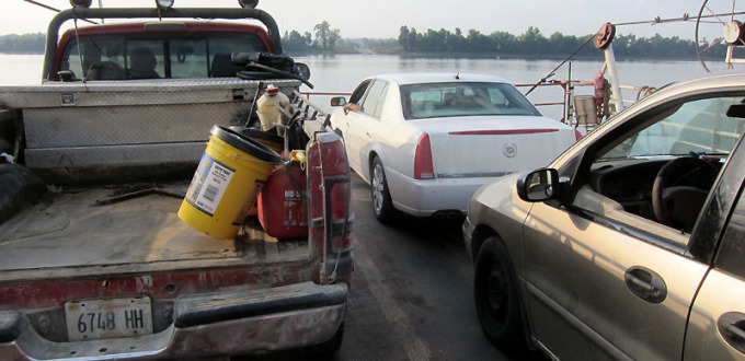
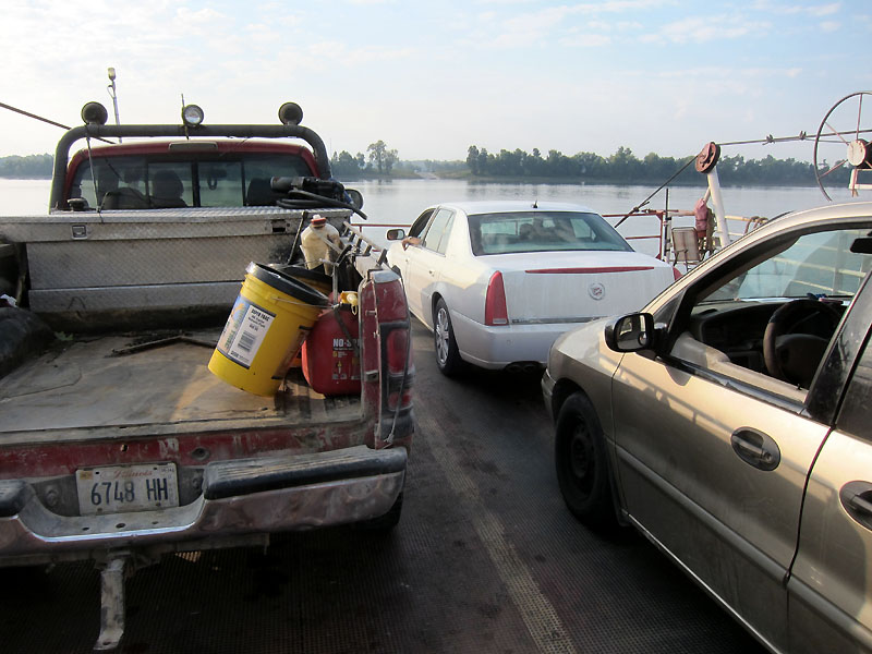
Rolling down the hill to the ferry, we caught it perfectly without a wait, sharing it with a couple cars and a truck. On the opposite side we cranked our way up the hill and away from the river, a good way to say good morning to the ride ahead of us.
Today’s route took us on quite a few backroads along the Ohio River. We started on Cotton Patch Ridge Road, then Baker Hollow Road. Dogs were about. It got to where you’d round a turn, spy a mailbox up ahead, and sense right away whether a chase was likely. Sometimes the mailbox would end up being a church’s, or maybe a fence ran around the property, so you could relax a bit.
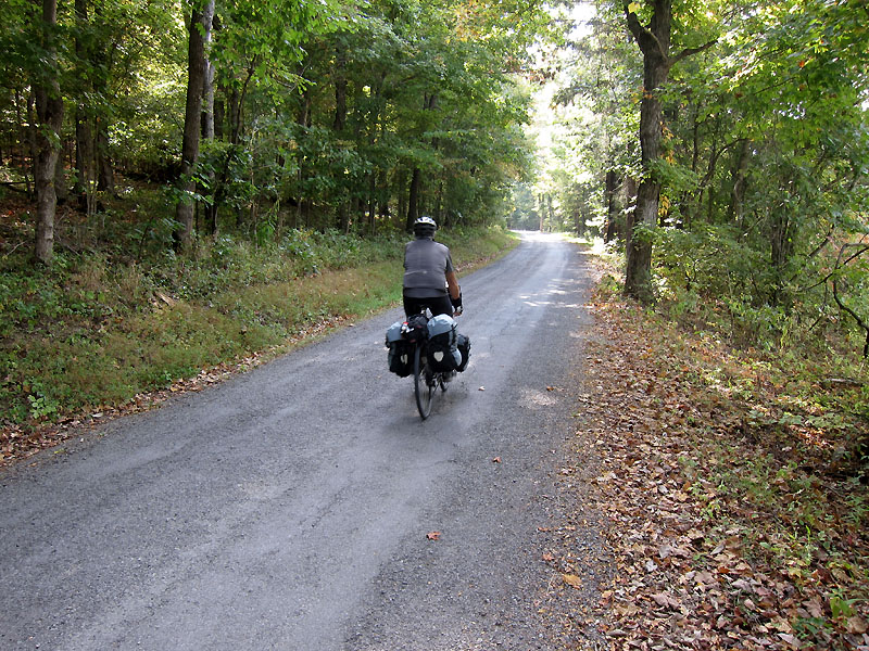
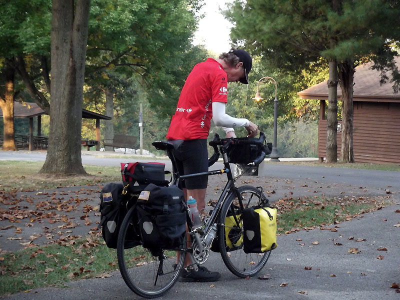
A good 99% of dogs are just excited to see you, a pleasant disruption in an otherwise boring day. Some are protecting their territory. However, on one stretch, two of them went after Jack in a big way up ahead of me. They got on both sides of him, snarling and snapping at his heels, and just wouldn’t back down. It was as if they were trying to corral him, which nearly got dangerous for everyone when a car passed.
The dogs finally bugged out by the side of the road. I then cautiously rolled up to them, ready for the onslaught, ready to punch it. Imagine my surprise when both dogs simply watched me roll by without flinching.
We made our way to the little town of Sturgis via an incorrect turn I’d made, then started searching around for a store. Chocolate milk was on my mind. We actually rolled around the town streets for quite a while before finding one.
A nice guy was really interested in our tour and stopped to talk for a while. He lives in Sturgis with his wife and 4 kids, calling it sort of a “broken-down” old town. We talked bicycling gear and mode of travel – he thought it all was pretty cool.
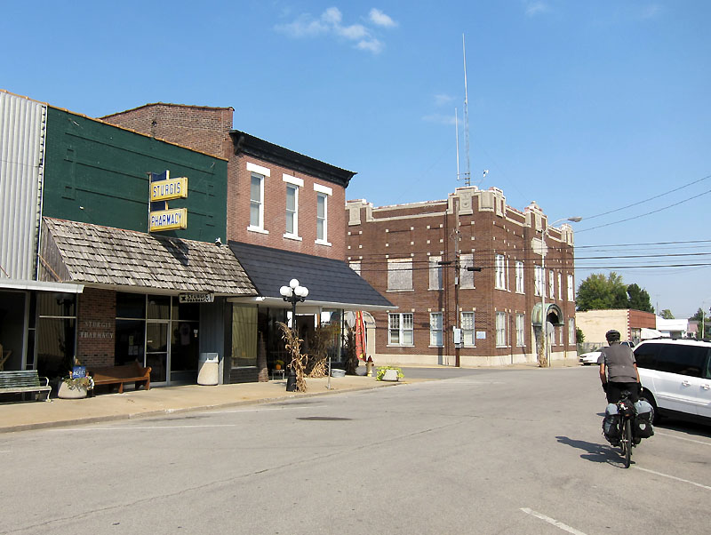
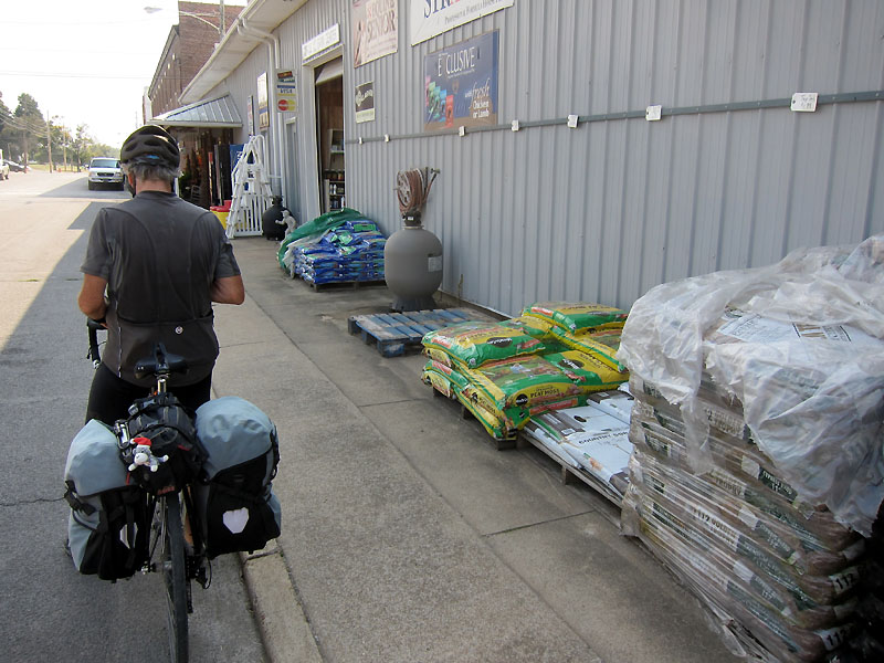
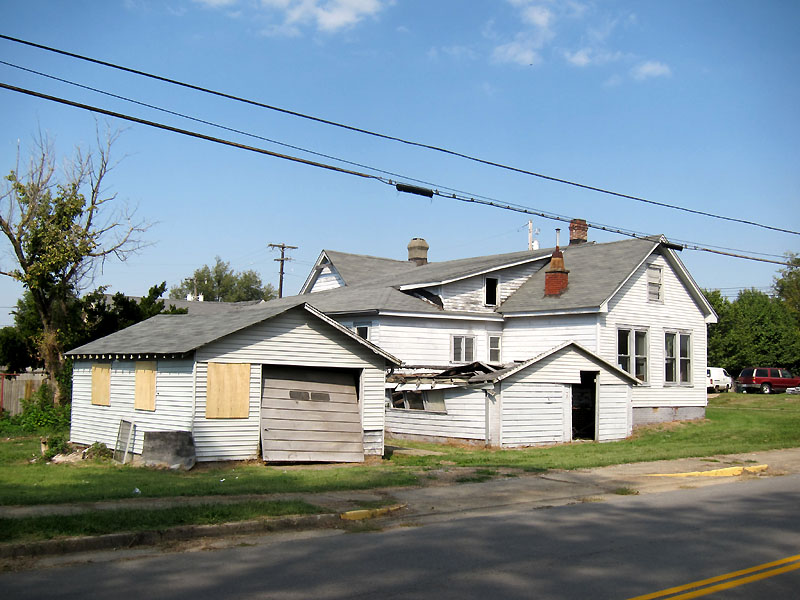
From Sturgis we took pretty backroads all the way to Morganfield, avoiding US60. Jack led the way and impressed me with some rather spirited riding. I wondered whether the “stablehorse syndrome” was taking effect. I guess I too was started to contemplate the idea of ending this tour.
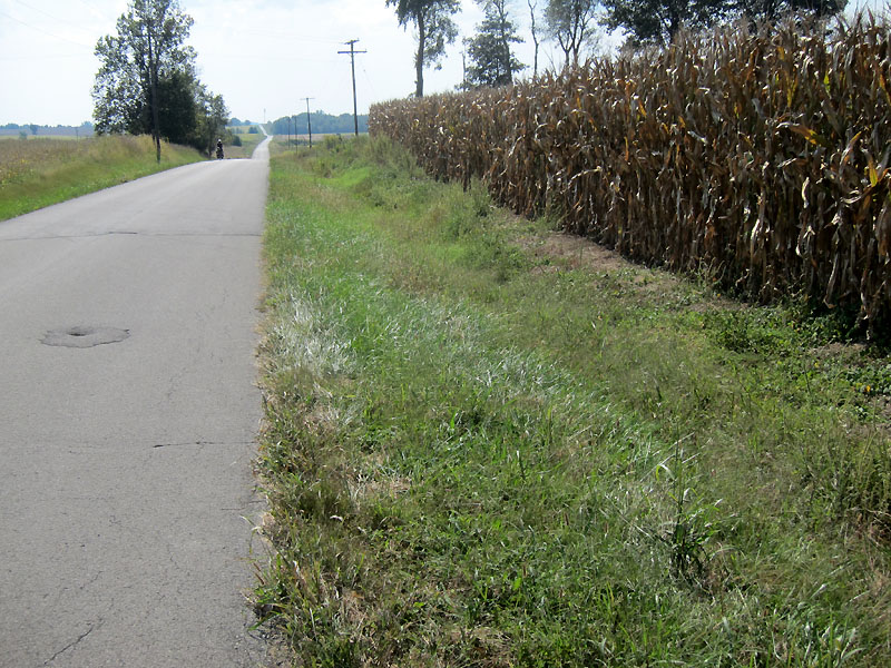

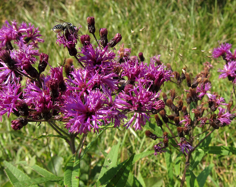
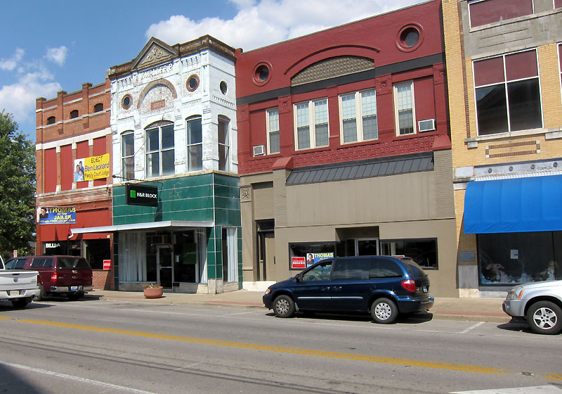

Convenience store stop in Morganfield. They had Bottlecaps! I stocked up a few rolls, then talked with a nice guy seated at the table about how best to get out of town. He said he’d been up since 2AM as an all-night restaurant employee.
Only 22 miles left and on relatively flat terrain. We even had a breeze from the south which provided a direct or angled push the whole way. By backroads, we crossed through a tiny place called Smith Mills, and then through Geneva, where I texted Linda to give her our status.
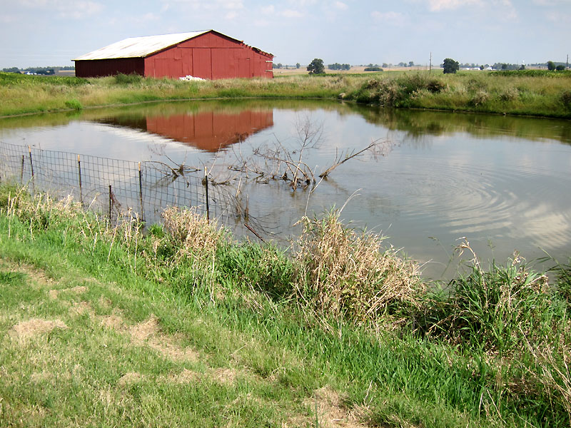
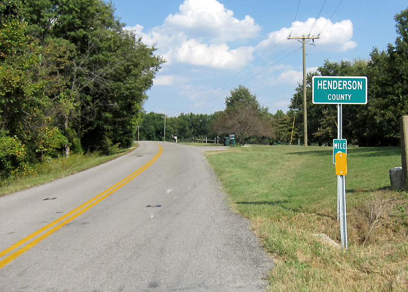
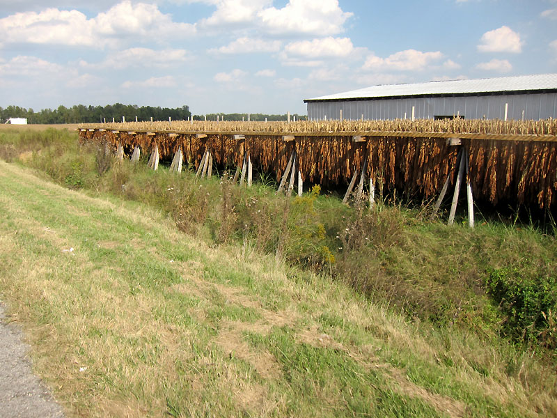

The Henderson County line told us we were getting close. SR 136 met up with US60. I was relieved to find a decent shoulder on US60. About 2 miles of it anyway. Another mile involved sharing the lane with truck traffic, but as usual, the commercial truck drivers were courteous enough (it is the pick-up drivers who can be bad).
We cut west and then rolled along the river through the heart of old Henderson. We didn’t know we were being spied on until I saw our maroon Lexus at an intersection with a camera hanging out the window. It rolled with us for our final mile to Atkinson Park on the north side of Henderson.

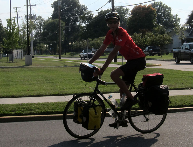
What a joy to see Chuck, Alice, and Linda there to greet us. Finished with the tour and headed to Heavensville!
