NR05: Smoky Kootenay NP
As planned, up early, and out by 7:15AM. I’m running slowly this morning. I slept well, but once up, I just felt sluggish. Sluggish packing up. Sluggish on the bike. Jack and Phil are soon far ahead of me.
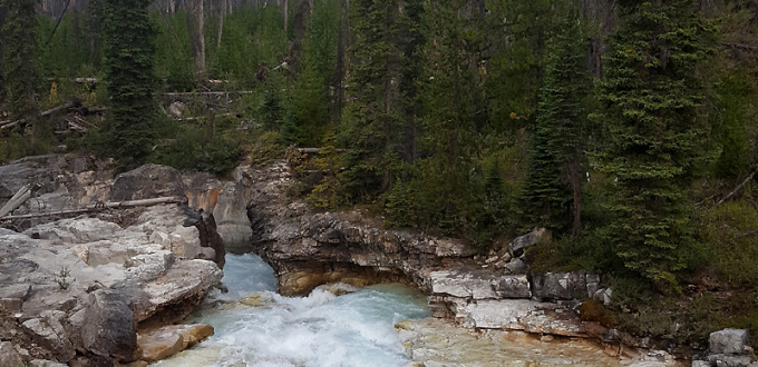
No worries. In those situations I just relax, relish where I am and make sure to enjoy the roll. A sign for Numa Falls had me pull over to examine, but the site is closed due to renovation of a bridge. I dilly-dally anyway, taking photos, stretching out the morning. We all knew we’d encounter smoke today and had talked about being careful with our exertions. Slower is better.


Before reaching Vermillion Crossing I catch the guys, and we soon encounter a CPS ranger parked on the road. He’s providing information about pilot cars that will escort traffic through this section one-way, since visibility is not good. On bikes, we won’t be affected. In fact, he says he wishes he were out riding today.
Within a mile or two the smoke starts to get fairly heavy, streaming from the Verdant Creek wildfire. I see active flames early on in one place, but then never again. Still, the air is grey soup, the sun is obscured, temperatures drop a little, and the scent of burning pine hangs heavy everywhere. I start to cough, but curiously the coughing lasts only a minute or two and abruptly stops. We’re mindful to keep our breathing and heart rates in check and I keep self-monitoring how I feel. Not too bad, really. I hope the smoke will clear out when we get to the climbing up ahead.

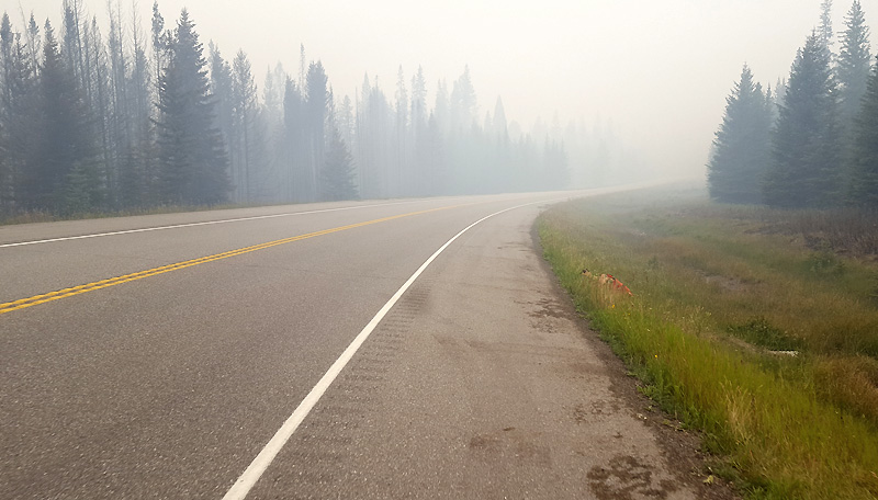
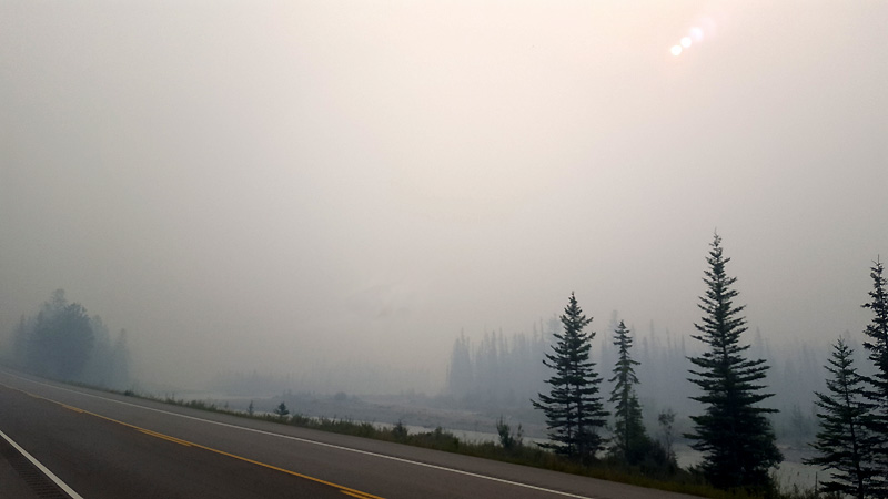
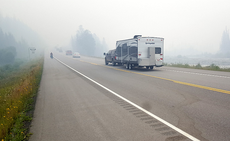
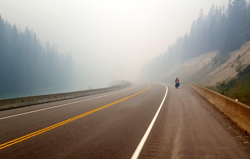
Riding through the smoke does have its downside. Towering around us here in Kootenay National Park are magnificent beautiful mountains, and we can’t see a damned one of them. Still, the passage is unique in its own way. Spooky and gloomy and mysterious and fragrant. An interesting experience.
The one-way piloting of cars is actually a boon to us cyclists, because we go for long periods with zero motor traffic behind us. What we do notice are literally thousands and thousands of cars headed north in the opposite lane. Endless lines of them. Why?
The smoke gets better by the time we reach McLeod Meadows Campground for lunch. We’re all running out of food. My single Pop Tart and a few BottleCaps are it for me – I have nothing left but water, and likewise the guys are on fumes. We don’t go hungry, mind you, but we’re down to zero.
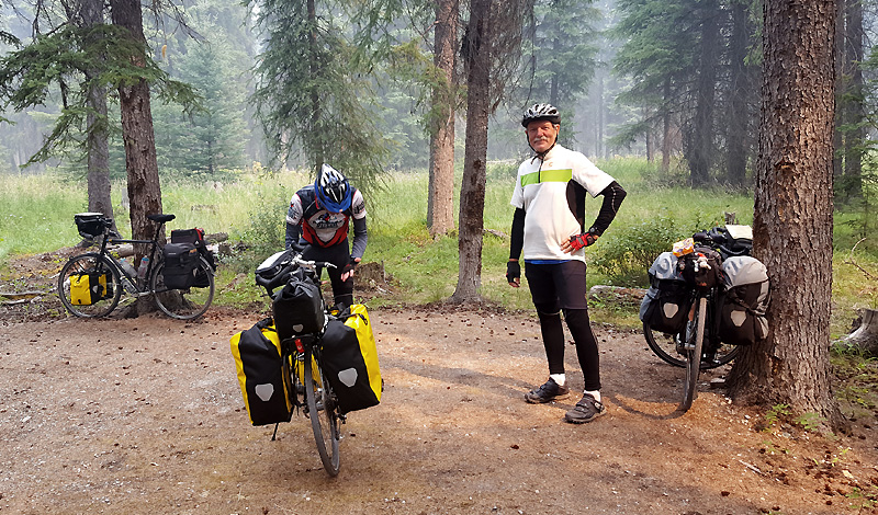
Thus we start climbing Sinclair Pass. On paper it’s a good 1200′ climb, but in practice not too bad, a matter of granny gears and patience. Nearing the top we pull into a “Scenic Overlook” of the Kootenay Valley area that today shows off nothing but grey opacity for miles. A CPS van sits parked with an attendant ranger. She’s on duty to advise drivers about smoke, and otherwise to educate people about the nature of wildfires.
A slim blond athletic lady, talk about a perfect person to be a ranger. Outdoorsy and very friendly. She explains the endless line of cars is headed north into the parks because today is a provincial holiday, BC Day. Couple that with Canada’s 150th anniversary and the summer season. Today is the 2nd busiest day of the year up here (July 1st is #1).
None of the cars were stopping, so she seems to relish some conversation. We learn that the huge pink spreads of flowers on the sides of mountains are called fireweed, one of the first plants to grow back after a wildfire. In discussing our tour, she expresses a sentiment that tenting is a declining practice, that unfortunately people just don’t do it much any more.
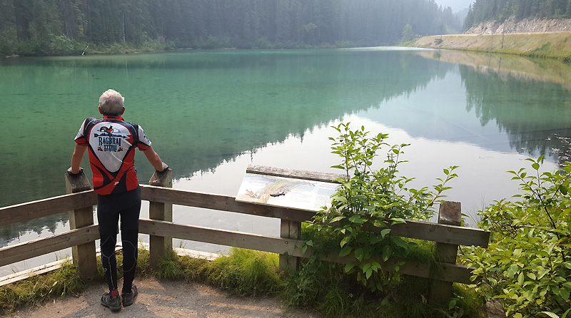
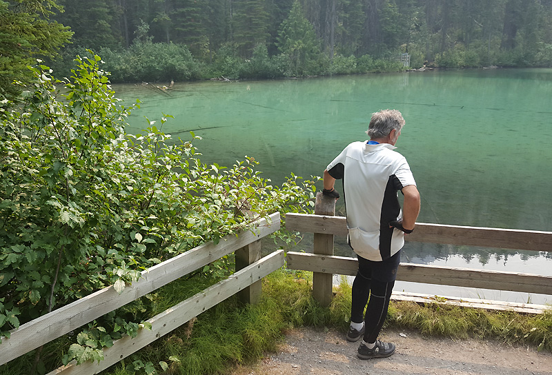
Another mile and a half to Sinclair Pass. The three of us stop and saunter down a short path to Olive Lake, an idyllic emerald lake full of tiny brook trout. The place is colorful and calming and peaceful. Perfect for meditation.
The next seven miles drops precipitously into Radium Hot Springs. The descent would have been extraordinary except for one thing – headwinds. On even the steepest sections Jack and I manage maybe only 30 mph, and often much slower. Never seems “fair” when you have to pedal going down a mountainside.
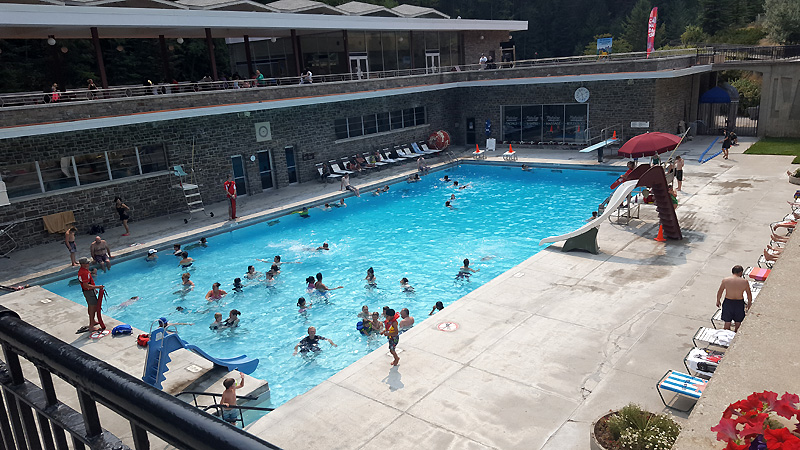
Once in Radium Hot Springs, I had hoped to visit the pools and perhaps take a dip. Without researching it much, I expected to find hot springs, you know, geothermal water in a natural setting with plants and boulders, or maybe even a cave. Alas, I’m disappointed to find only 2 blue concrete rectangular swimming pools. May be geo-sourced, but for me, not very appealing from a tourist’s standpoint. None of us venture through the gates although I take a few photos.

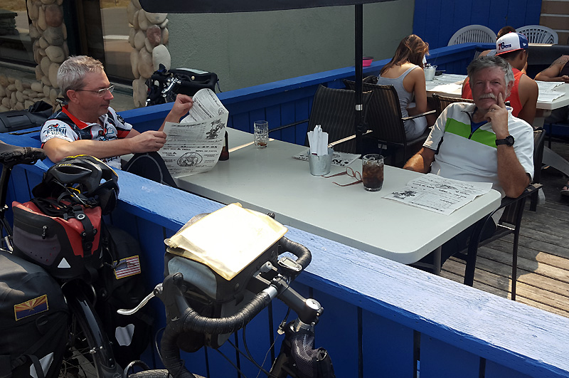
We’re hungry! We randomly select Back Country Jack’s for a sitdown feast, mine meatloaf, Jack’s veggie pasta, and Phil’s ribs. Add on a couple of Big Rock Traditional Ales to wash it down. Bliss! We then hit up the Mountain Fresh Market across the street for camp food.
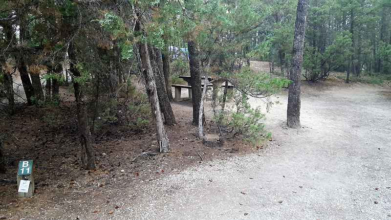
We’ve got an actual reservation tonight at Kootenay NP’s Redstreak Campground, but holy moly, getting there involves a 1.5 mile grueling switchback climb onto a ridge. A cute ranger welcomes us and points the way to our site along the ridge line somewhere near the back of the grounds. Perfect weather, high 70s. Cell phone conversations ensue with Fran, Peggy, and Linda. Snack dinner. Then a discussion of charging bricks :-).
Into sleeping bags by 8.
Today’s Ride: 58.8 miles
Today’s Climbing: 2,481 feet
More Stats: http://cyclemeter.com/
Tour Total So Far: 246.9 miles


