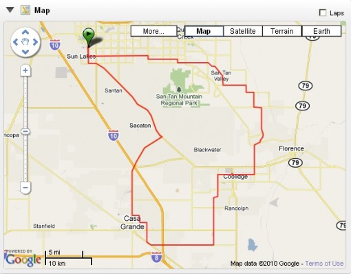
CG100 Pre-Ride 2010
Practically at the last minute, Jesse and I decided to take a roll around the Casa Grande Century route. Both of us volunteer for this ride, held each January, so here in November we decided to scout out the route, take notes for course marking and maps, and generally make a day of it.
All of this is very early conditioning for our cross country ride next year. Accordingly, we both brought along touring bikes.
Before sunrise Tuesday morning I found Jesse waiting for me at the McDonalds at Chandler Heights Blvd. and Alma School Road in south Chandler. With a couple of Egg McMuffins and coffee in our bellies, and the sun finally up, we set off south on the route.
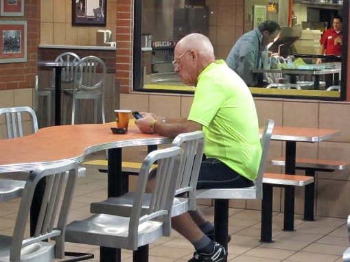
The new CG100 route’s right turn onto Riggs from Alma School is a very welcome change. This should make the split between century and shorter routes much clearer. Traffic along Riggs is slightly increased (compared to Hunt Highway a mile south), but it sports a decent bicycle lane all the way to Val Vista.
With temps around 52F, my hands got cold fast. The sun was in our eyes as well, but at an angle from the south. In fact, the early morning sun gave a pretty glow around the SanTan Mountains, probably due to rising dust from agricultural chores. Breezes, if any, blew maybe 1 mph from the west.
East on San Tan Blvd., I noticed the San Tan Café as a potential breakfast place for a future version of this ride. I called to Jesse, “I wonder if they sell pancakes?” and he laughed.
A handful of dogs threatened us in this area, but all of them had evidently been trained not to cross into the roadway. Good thing.
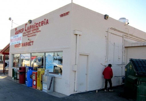
At Power Road and San Tan Blvd., this alien-looking guy was skulking around behind the dumpster at the Super Carniceria, worthy of a photo.
We stopped for a bathroom break at Circle Cross Ranch Park off Empire Blvd., site of previous GC100 rest stop #1. This year, the Circle Cross HOA had asked our club for $500 in exchange for our planned 3 hour use of the park. $500! Either an overly greedy and naïve HOA, or they’re mean spirited toward cycling events. [I feel compelled to disclose this in a public forum.]
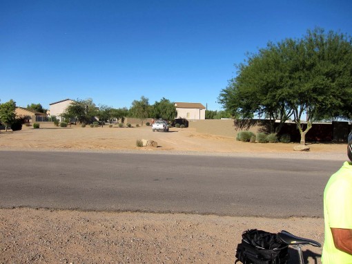
It was easy enough for us to move R/S#1 to a public location, this year slated for Gantzel and Bella Vista Rds. After a beautiful roll down the smooth and wide shoulder of Gantzel Rd., Jesse and I stopped for another few minutes to take photos and check out the new site.
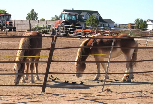
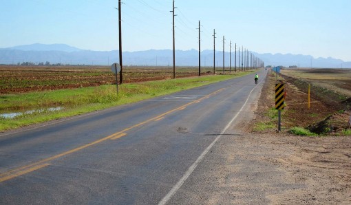
Onward on farm roads, the worst of which is Attaway. Rough and pock-marked, our touring tires rolled OK but I know it is jarring on a road bike. It’s worth it, however to get to Felix Rd., a wonderful cycling passage south. Unfortunately, that eventually leads back onto Attaway…
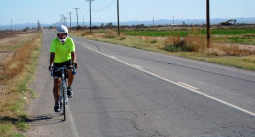
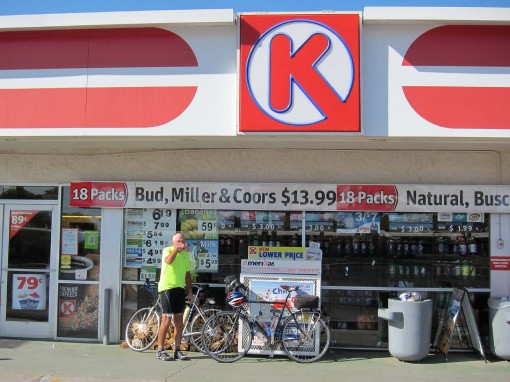
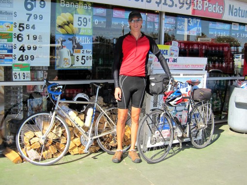
At the 45 mile mark, I was very happy to reach the Circle K in Coolidge, because I’d been dreaming about a Snickers bar for quite a few miles. Downed a liter of Gatorade and a PB&J sandwich.
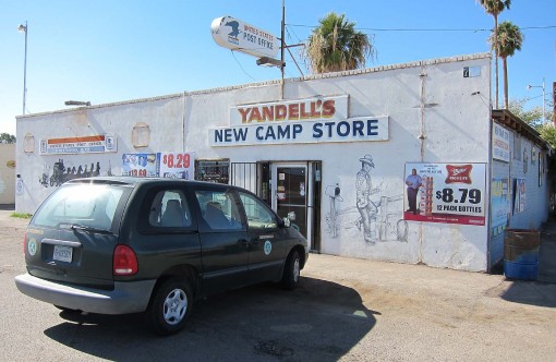
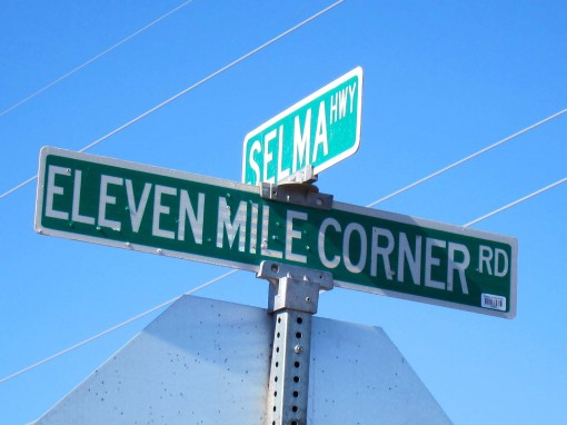
Nice stretch south on Skousen and Eleven Mile Corner Roads. The winds were picking up but only blew across us here. I stopped at Yandell’s New Camp store for no other reason than to take a picture of it, so I could remember it’s name.
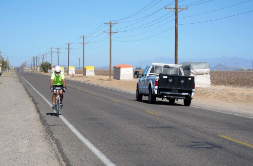
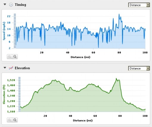
We soon crossed AZ287 and reached Selma Highway. Oh boy. I remembered from last year that Selma Highway is my least favorite segment of the route. My memory served me correctly. Combine a rough road surface with small sinkholes and thousands of ratty patches. The road edge runs irregularly, cracked and eroded away in many locations. Throw in 6 to 8 mph direct headwinds. Jesse and I geared down and ground out a slow 10-12 mph. After miles of the constant jarring, even on our touring bikes, both Jesse and I simply wanted this segment to end.
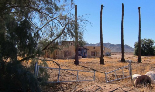
Finally sighting the I-10 overpass was a welcome sight, because we knew Casa Grande was not far beyond. Another welcome new change to this year’s route took us north onto Peart Road. This change is designed to minimize the distance along Jimmie Kerr Blvd (rough, tight shoulder, and too much traffic).
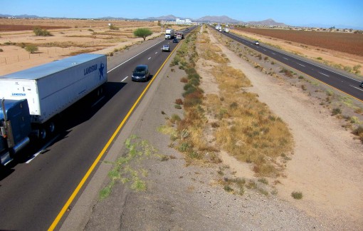
We bypassed stopping in Casa Grande. We were a little concerned about preserving our daylight hours, and our energy levels were fine. Likewise, we nixed the out-and-back to Dave White Park and instead turned north onto Pinal Avenue. Riding in these nice cool temperatures had plenty of water still in our bottles.
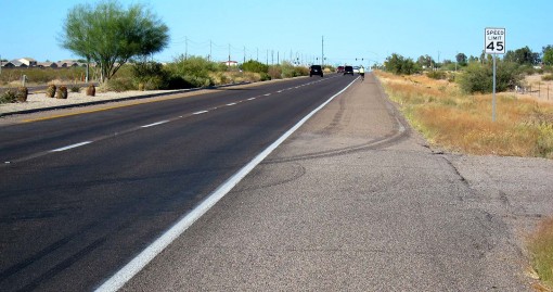
I encountered the roughest 20 yards of the trip across a bridge overpass here. Was forced right due to traffic, and I thought my teeth were going to come loose.
After only a few miles up Pinal, the hunger seemed to flare up, so at McCartney Road we pulled in to McDonalds for a snack. I thought it was pretty cool to encounter the same guy I had seen here last year, an older latino guy wiping up the drinks station who is a cyclist himself. I asked him, “You still riding?” and we then enjoyed a nice conversation about his rides around Casa Grande. Jesse picked up Judy Garland on the McDonalds sound system singing, “Have Yourself a Merry Little Christmas,” and waxed that it was the first Christmas song he’d heard this year.
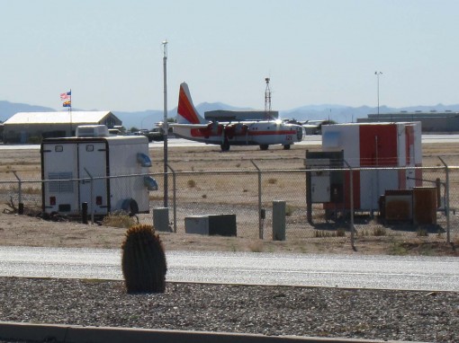
A little further north, Jesse stopped to admire a bomber aircraft parked at the Casa Grande Municipal Airport. He recognized it as a B-24, and he later identified it as a B-24 variant called the PB4Y2 Privateer. Neither of us knew why it was here, painted white and orange, possibly for tour rides.
At the I-10 overpass north of Casa Grande, I laughed at the thought that this was the first hill we’d had to climb, after about 80 miles.
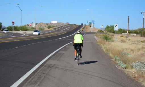
The minor climb and nice downhill heading NW on AZ187 was great, just like last year. The thin shoulder is a nuisance until you get past the impatient drivers headed to the Sacaton turn-off. After that, we enjoyed a sweet downhill, saguaros, big desert views, and even some tailwind from the west.
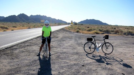
At AZ 187 and AZ87, we stopped and paced off some measurements of the clearing there. The CG100 rest stop #4 traditionally is located here, but this year ADOT had declared that we must adhere to a 36 foot setback to stay out their right-of-way. Our benevolent government. Enforcement without context. Don’t get me started.
Fortunately , the clearing is huge and we will have no problem complying.
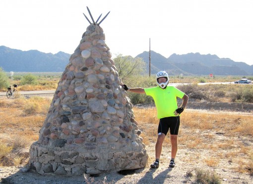
Jesse discovered a couple of stone teepee structures across AZ87 and we checked them out. I think they are on the Gila River Indian Reservation, but I’m not sure what the function is, some kind of marker? Monument? Heap big medicine? They’re kinda cool in any case.
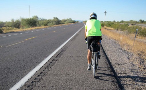
About seventeen miles northwest on AZ87. We were concerned that the westerly winds were going to stifle us on this segment but they’d calmed down a lot, so we clocked steadily along around 15 mph. I remember riding on this stretch last year and hurting plenty but this year I felt much better, and Jesse was certainly riding strong.
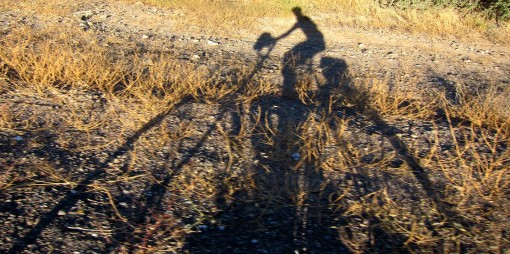
It’s a long straight roll with no logical break points, and as we pedaled I noticed that, due to the afternoon sun, my shadow was bouncing along the roadside brambles and debris. I snapped a few pictures that came out sort of interesting.
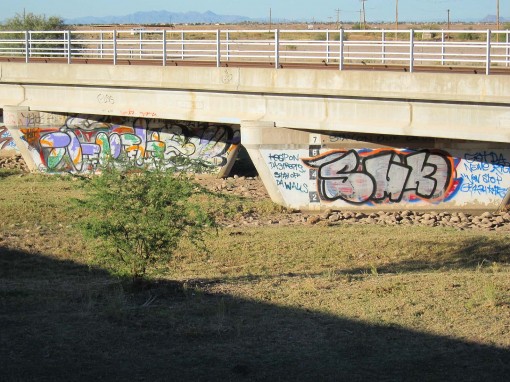
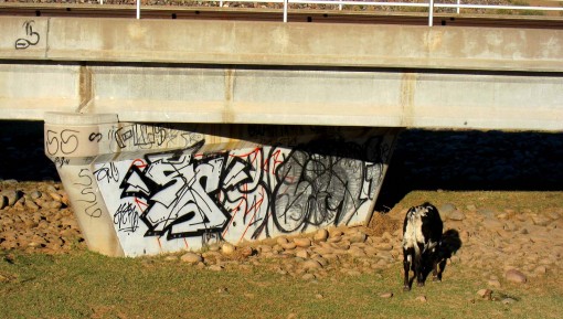
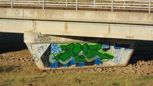
A heavily graffiti’d bridge gave us an excuse to stop and we discovered that a solitary cow had been assigned guard duty.
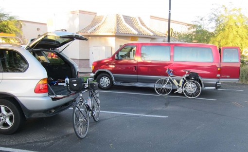
Up to Hunt Highway, and I was happy that the CG100 course markers would be simpler there this year. Back up to our vehicles with plenty of daylight to spare.
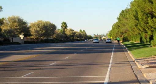
We reached the McDonalds but noticed that the elapsed mileage sat at about 99 3/4, because we hadn’t gone to Dave White Park. Looped up around the The Good Egg then rolled back to McDs, shamelessly logging in a full century.
I sure felt better this year than last. Last year my legs, back, and especially my neck were hurting. This year I felt just fine, maybe a little twinging in the knees. Because I’m in better shape? Because of the steel touring bike (I rode the Trek last year)? Probably both.
Likewise, Jesse said, “That wasn’t too hard, was it?” I was glad to hear his new Fuji Touring was fitting him well. We headed in to McD’s for a beverage and an ice cream.
A great day. In fact, I’d rather do this than play golf most any day. Except maybe tomorrow.
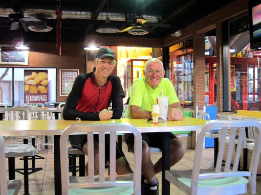
A leisurely pace, as planned. The touring bikes and breezes slowed us down, too.
